|
|
|
|
|
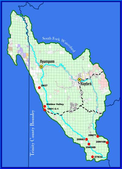
This map shows the project locations and general vicinity. Red points show individual project sites.
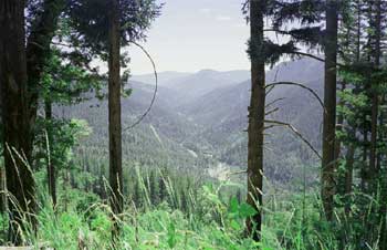
View downstream of South Fork Trinity River watershed. (TCRCD) 2001.
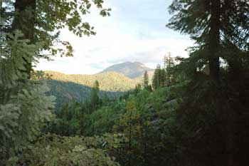
Black Rock Mountain, Upper South Fork of the Trinity River. (TCRCD) 2002.
Return to the Trinity County RCD Home Page
|