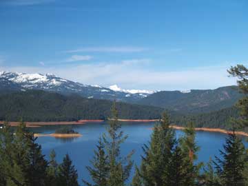
Upper Trinity River Watershed Assessment and Management Plan Sediment Delivery Risk Assessment
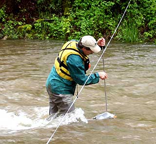
A sediment source assessment is being conducted by Graham Matthews & Associates for the watershed area that extends from the Trinity Lake dam north to Deadfall Lakes near Mt Eddy. This is being funded by the State Water Resources Control Board as part of the Upper Trinity River Watershed Assessment and Action Plan. The objective is to look at the amount of sediment that gets into the streams and ultimately Trinity Lake. Graham Matthews and his team have done an inventory of erosion sources, looked at whether they are natural or caused by people and estimated which sources would likely produce the most sediment. Phase I was an aerial photograph inventory and mapping and model of erosion sources. Phase II consisted of crews visiting sites on the ground to help verify aerial mapping and model results.
The erosion sources can be divided into two categories termed acute and chronic. Landslides tend to deliver sediment infrequently or acutely, during short and intense storms or spurts. This might happen when the slide originally happens, or years later as the slide moves again. Landslides can be triggered naturally or by land use activities depending on factors like climate, soils, bedrock geology, and slope steepness. On the other hand, chronic erosion typically results from rainfall-running off of disturbed areas, such as such as roads poorly managed lands or new construction sites and it tends to occur frequently.
Preliminary results of the Phase I and II sediment delivery risk assessment indicate that our network of roads has a high probability of producing chronic and acute erosion that is affecting Trinity Lake. Results show that about half of the active landslides within the Upper Trinity were triggered naturally, about 30 percent were associated with roads, and about 20 percent with timber harvest activities. For chronic erosion, about half is from natural sources, about 40 percent from roads, and 10 percent from timber harvest activities.
The initial results show that about 55 percent of the small streams that flow into Trinity Lake produce more sediment than the EPA recommended in its Trinity River TMDL in 2001. The TMDL, or Total Maximum Daily Load, is a calculation of the maximum amount of a pollutant (in this case, sediment) that a waterbody can receive and still meet water quality objectives. Once the sediment delivery risk assessment is finalized, the results will be reviewed and recommendations will be made in the Upper Trinity River Watershed Assessment and Action Plan to identify and prioritize projects that will help reduce the impacts that erosion has in this watershed and that will help us maintain the natural resources that we all have come to enjoy and benefit from in and around Trinity Lake.
|